Sunday, 12 August 2018

Pilchers Pass, Grand Canyon, Horse track & Rodriguez Pass August 2018

I had not traversed the Horse Track before, in fact I only learned of it a few weeks ago. The National Parks for some reason appear to discourage it's use. It is not too difficult, although it does involve a large altitude change over a short distance, but no steeper than the main Grand Canyon Track. The National Parks have done a lot work on the Grand Canyon Track with steps and hand rails, to cater for the huge number of tourists who visit here. By contrast the Horse Track is just kept open, the only work I could see was a bit of chain saw work, the clearing some of the bigger fallen trees.

I encountered another bush runner whist I was on Rodriguez Pass walking track, he was training for this; https://www.hounslowclassic.com.au/ this ultra (68km), and shorter distance (21.1km) event is held over some of the tracks I was on today.

Down in the valleys the weather was ideal, but back at the car at 12 noon the temperature was just 10 degrees and blowing hard, the wind chill would have been low.


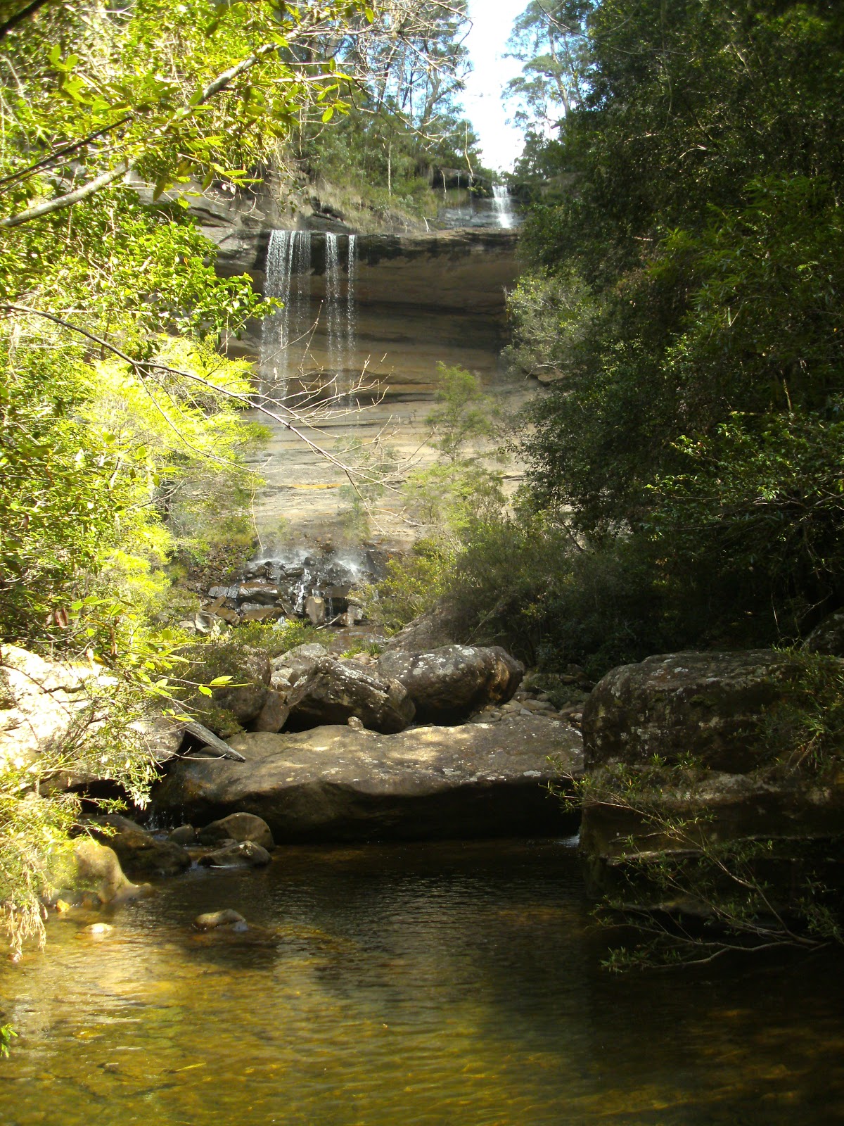
Greaves Creek


Looking towards Point Pilcher from a lookout on the Horse Track

Sign at the top of the Horse Track, I think to discourage the inexperienced, the track is not that difficult.


A rockfall tunnel on the Grand Canyon Track


An overhang on Pilchers Pass


Mt Banks on the left with Mt Tomah behind Mt Banks, the Blue Gum Forest below Mt Banks


Stats,
distance: 15.3 Km
moving time: 2 hrs 28 mins
Elevation: 1229 metres
Calories: 1922


Sunday, 22 July 2018

Mt Caley & Mt Banks July 2018

The aim of this run was to get some extra kilometres in my legs in preparation for my annual Bilpin Bush Run. I had read that the Mt Caley summit was overrun with lawyer and other prickly vines, so I though I would see how close I could get to the summit. The two mountains I climbed, Mt Banks and Mt Caley, like numerous other peaks in the Blue Mountains are capped with volcanic material sitting on the older sandstone. This basalt some 140 metres thick was deposited around 17 million years ago. So sure enough, climbing Mt Caley, less than 200 metres from it's summit the soil changed to volcanic. That was as close as I could get to the mountain top. The nutritious volcanic soil enabled a much denser forest and ground cover. So me dressed in running shorts had no option but to turn back. It would have been extremely difficult to proceed even if dressed appropriately. The weather was cool and sunny, quite windy though.

           Mt Caley is immediately to the left of the slope in the foreground (Mt Banks)


Looking at the western slopes of Mt Tomah

Mt Tomah is also capped with volcanic material, I guess this would be a factor why the botanic gardens are here.

The Summit of Mt Banks


Mt Banks, even though capped by volcanic material, has not been overrun with lawyer vines or the like. The two paths to it's summit although steep are easy to negotiate.

Looking towards Medlow Bath, the Blue Gum Forest is the valley below 


Stats,
distance: 21.7Km
moving time: 4 hrs 
Elevation: 1306 metres
Calories: 2318


Sunday, 24 June 2018

Mt Blackheath & Kanimbla Drive

  The plan for this bush run, was not to run too far or too hard, the following Saturday I had entered in a NSW Athletics event and I didn't want start that event fatigued.
I had been told you could get to the Kanimbla Valley from the Mt Blackheath Lookout through the bush. So after a few false starts I eventually found a way down, quite steep but not dangerous or exposed, enjoyable actually. I was lucky with the weather, no rain on the day, the days before and after it poured rain. It was sunny and cool at the lookout, about 9 degrees, much warmer in the valley. I have a vague plan to string the last three runs together, further thought required on that though.

Bush Bash off the Mount

Damaged & Vacated Termites Home

The Remains of a Burnt Ski Doo Marking Somebody's Property Entrance 


Stats,
distance: 10.7Km
moving time: 1 hrs 95 mins
Elevation: 467 metres
Calories: 1073


Friday, 25 May 2018

Sugarloaf Rd, Panorama Point, Megalong Valley Road, May 2018

This run I started with a little trepidation, the climb from the ute to Panorama Point was a straight through the bush without any form of track, also I was aware Panorama Point is surrounded cliffs. After much web surfing I found that at least one other group had climbed the route I was attempting,  they didn't elaborate on the route they took. So I knew it was doable and I hoped I could find a way through the cliffs. I didn't need to worry, an opening was fairly obvious, so after a little scrambling I was on Panorama Point, from there the remainder of the run was on roads and four wheel drive tracks.

Taken from Panorama Point to the SSW into the Megalong Valley, on the left horizon is the Narrow Neck Plateau, in the centre horizon is the distant Kanagra Walls, the Coxes River Gorge can be seen in the middle ground to right.


As mentioned above this trip was mostly running on roads and four wheel drive tracks, so I haven't much to report. Some Glossy Black and Gang Gang  Cockatoos flying and the usual Kangaroos and Wallabies were the only native wild life I saw.

Panorama Point is on the right end of the ridge. The ute is directly below that point, I scrambled up the side facing us. After the point I continued left along the ridge to the next bump, that is Hargreaves Lookout. This picture was taken from the second camera marker on the map below.


Stats,
distance: 23.4Km
moving time: 3 hrs 6 mins
Elevation: 801 metres
Calories: 2125          


Thursday, 10 May 2018

Kanimbla Drive to Sugarloaf Peak & Return 7th May 2018

The weather today was absolutely stunning.My run this time was on dirt tracks apart from the half a kilometer climb to the summit of Sugarloaf Peak. Just after I had turned around to return I spied two Parragliders in the sky, way over near where I parked the ute. Nearly back to were I parked I came across one of the pilots, on the ground, in a paddock. I offered him a ride out, he was content to wait for his pick up.
 Sugarloaf Peak is the forested hill in the center

This crude rock cairn marks the summit of Sugarloaf Peak


Blackheath is above this cliff top

Stats for the day:   distance 18.4 Km
                             moving time 171 minutes
                             total climbing 668 metres
                             estimated calories 1773


Thursday, 26 April 2018

Dumphies to Coxes River Via Carlon & Breakfast Creeks, Return via Ironmonger Track 24th April 2018

I arrived at Dumphies to find the car park almost full, other times I have been here I have had the car park all to myself. Then the penny dropped, today was the day before ANZAC day.This is the closest car access to Splendor Rock. Many bush walkers camp overnight at Splendor Rock or nearby Mobb's Soak, so they can be at the rock at sunrise to remember fallen ANZAC bush walkers. I was thinking, this means the track would be inundated with tourist. Surprisingly after leaving the parking area I was completely on my own until I returned. 


Nearly all the first section down Carlon Creek had lots of stinging nettles, I did cop a few stings, I didn't notice them while running and walking, rather on the trip home my lower legs were rather itchy, gators or long leggings next time.
A couple of these Red Bellied reptiles raised my pulse somewhat. They both seemed quite sluggish, maybe due to it being quite late in the season. 


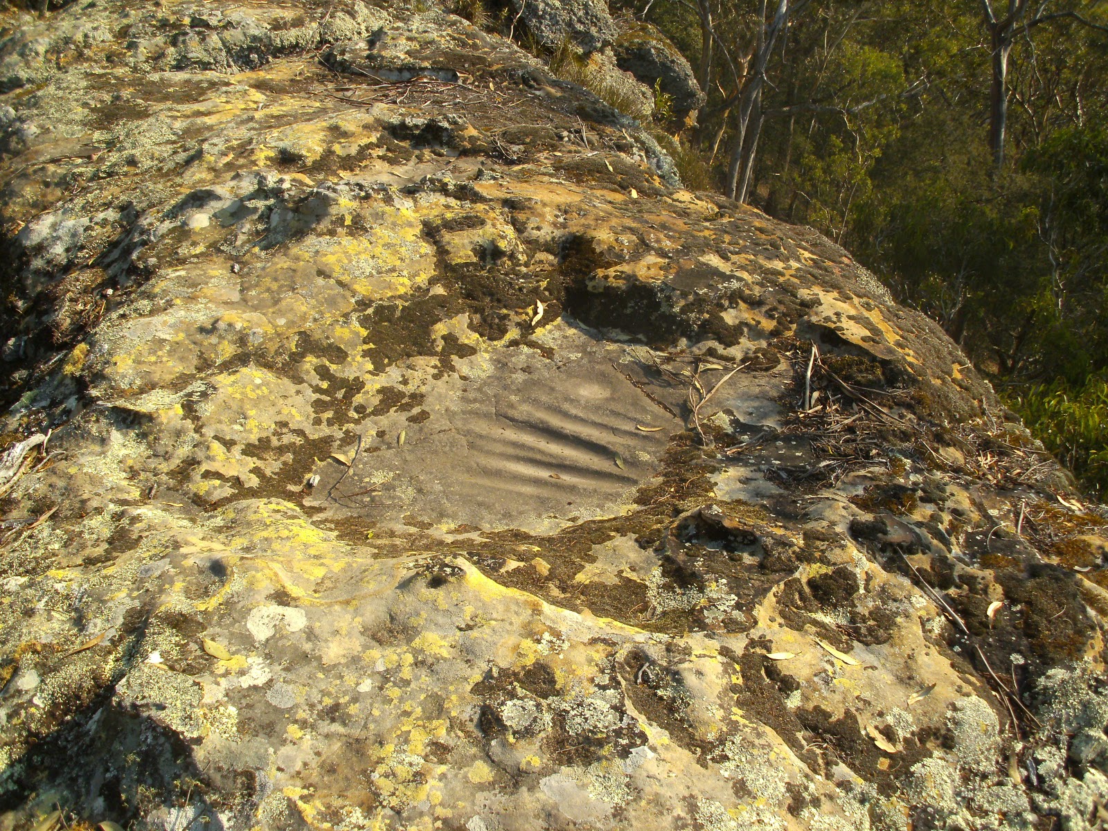
Aboriginal grinding grooves on Iron Mountain.

More Aboriginal masonry work, holes ground into the rock for unknown reasons, about 100mm diameter.  

The Coxes River is in that gorge, taken from Iron Mountain

A large recent (within the last 2 years) rock fall taken from the Megalong road on my way home. The Hydro Magestic is the white building on the top of the cliff just to right of the rockfall.

Stats for the day: distance 16.5 Km
                             moving time 190 minutes
                             total climbing 863 metres
                             estimated calories 1732


Sunday, 8 April 2018

Pierces Pass to Victoria Falls Lookout & return

4th April 2018
Today was a 22 km out and back run/walk from Pierces car park through the Grose Valley and up the Western side of the Valley to Victoria Lookout. A little jogging mostly walking. Within a kilometre of starting down Pierces I almost stood on a Euastacus Sustralasiensis (Sydney Smooth Crayfish), by the time I had the camera out and ready to shoot, it had disappeared down it's burrow below one of the split logs that made the steps of the path.
The only human contact for this run was a couple of day tourists near the turn around point and a over night camper near the start when I was almost back to the ute.
My GPS recorded over 2 km of vertical ascent, I do think this figure is way to high. IE GPS error.
The weather was ideal mostly sunny.


The lowest point of the run, the Grose river crossing

My second sighting of a Euastacus Sustralasiensis in a tributary of the Grose

Victoria Falls