Sunday, 21 June 2020

Lions Head Pass- Kedumber Valley - Goat Track June 2020

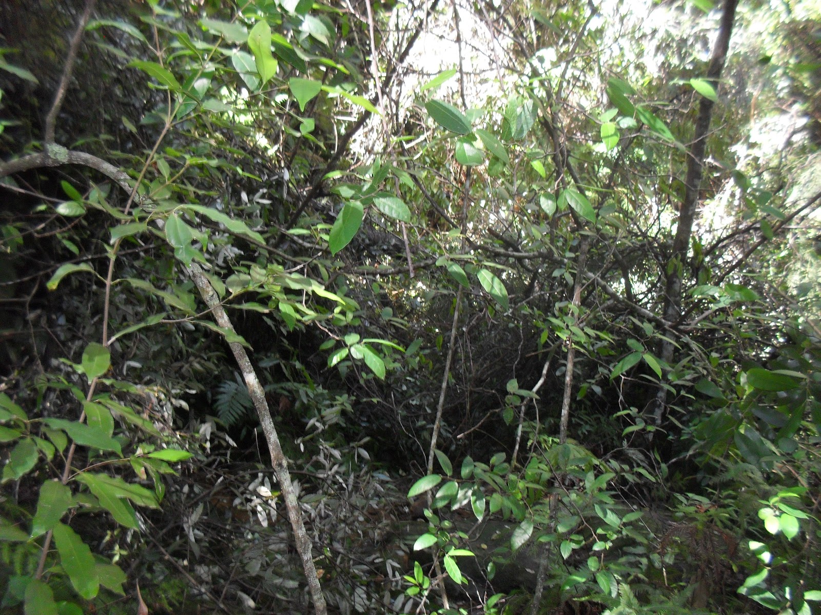
I had done this loop back in 2017, I wanted to see first hand how much damage the fires earlier this year had done. The dense banksia on the tops has been completely decimated, as can be seen from the picture below. The last time I was here it was hard to get off the track due to the dense scrub the track passed through, now there is very little evidence of the track. I had to rely on basic navigation to find the top of Lions Pass.

Lions Pass is extremely steep requiring much care, a bit of bum sliding and scrambling to negotiate. Once on the track below navigation was no longer an issue.

My way out of the Kedumba Valley was via the lower part of the Goat Track and then the four wheel drive Kedumba Pass. The Goat Track is also called "Bush Rangers Track". The lower section has a chain to assist over a bit of a cliff, the upper section has a rope to assist up a much riskier cliff. I wasn't confident about the upper section, the chain on the lower section was enough for me.


Burnt Banksia, above Kedumba Walls


Lions Head from above


Rock Cairn indicating the top of Lions Head Pass


Maxwell's Grave, see the plaque above


Farm Dam near Maxwell's Grave


Near the top of Kedumba Pass


Rock overhang further up Kedumba Pass


Kedumba Walls


Lions Head on the right hand end, the pass is just left of The Head

Stats,
distance: 18.3Km
moving time: 3hr, 11min
Elevation: 794metres Calories:1738


Friday, 15 May 2020

Coba Point - May 2020

In the midst of the Covid19 lock down, I did this permitted exercise, 'close to home', well about 50km from home. The objective, Coba Point has a collection of dwellings on the banks of Berowra Creek, these dwellings are only accessible by water or walking the overgrown Coba Ridge Track. A bit of a side trip off the path I went is Colleridge Point, pictured below, is also only accessible by water, foot and maybe mountain bike. I previously did this track in June 2015.

Colleridge Point
Berowra Creek
Coba and Colleridge Points must have had road access in the past as half way down the track there is an early sixties car wreck. It would be impossible drive a car there now.
Final resting place of a late 50s early 60s Holden Wagon
Eroded & overgrown Coba Point track

Stats,
distance: 19.8Km
moving time: 3hr, 2min
Elevation: 346metres
Calories:1452


Friday, 17 April 2020

Murphys Glen Fire Trail - Mt Bedford & return - March 2020

Driving out to do this little adventure, I happened to tune into ScoMos first version of the national lockdown, this maybe the last bush blog from me for a while, even though I am usually completely isolated whilst I am in the bush.
I mostly  ran on closed management tracks. The loop over Mt Bedford was on an overgrown, little used walking track. The Mt Bedford loop started from the Ingar campground.Ingar Campground is currently closed due to the recent bushfires. Ingar is a local aborigine word for crayfish.

Burnt in the recent fires
The pond at Ingar campground
Bedford Creek
Knee deep ford through Bedford Creek
An unknown animals home, the museum suspects it is a spiders hole

Stats,
distance: 12.5Km
moving time: 2hr, 17min
Elevation: 593metres
Calories:810

Friday, 13 March 2020

The Great North Walk - Mooney Mooney to Quarry Campsite & Return February 2020

This time I did another section of the Great North Walk, from the Mooney Mooney bridge north. Mooney creek was very turbid and I suspect I was the first person along the here after the torrential rains we had just received. The track was muddy and leech infested, a few weeks ago the track would have been dusty, and my lower limbs leech free. 
A deer bounded off as I was parking my ute, I wasn't quick enough to get a photo.
I passed besides the Lower Mooney reservoir, this dam formerly supplied Gosford, the newer Upper Mooney reservoir now supplies the Central Coast.

I was on hands and knees crossing here, slippery.
The Lower Mooney Dam
The Lower Mooney Dam Wall
Ruins of the Lower Mooney Dam Pumping Station
Much of the track was overgrown, the track is meant to pass through here.
The Quarry Campsite, notice the combustible material around the fire place.
A large crayfish in the turbid water
The M1 Motorway Mooney Mooney Bridge
Stats,
distance: 16.7Km
moving time: 3hr, 3min
Elevation: 301metres
Calories:1133


Sunday, 19 January 2020

The Great North Walk - Patonga to Mt Wondabyne & Return December 2019

Not much to report concerning this one. I had some difficulty deciding where to go, there were fires in all directions from Sydney. After studying the fire maps and the National Parks web pages, I settled on the Great North Walk (GNW) section from Patonga to Mt Wondabyne and return. The nearest fire was about 40km away. This is in the Brisbane Waters National Park, a bit further south from section of the GNW that I did in my September 2019.

A creek near Patonga is usually dry at low tide, high tide can mean wet feet
I don't know if this is a recent arrangement or not
Looking towards Woy Woy
Bush fire smoke from the Yengo National Park on the horizon
Patonga
Mouth of the Hawkesbury & Barrenjoey Head
Stats,
distance: 22.6Km
moving time: 4hr, 1min
Elevation: 610metres
Calories:1931


Friday, 6 December 2019

Langi Ghiran - November 2019

Langi Ghiran  or "Lar-ne- Jeering" to the Djab Wurrung people, means home of the black cockatoo. In 1836 Major Mitchell was the first European to climb the mount, he dubbed it Mt Mistake.

Part of Ararat's water supply the Langi Ghiran reservoir was built in 1880. The Mt Cole reservoir is approximately nine kilometers east of Langi Ghiran. A pipeline from the Mt Cole reservoir gravity feeds water to the ridge a kilometre or so from the Langi Ghiran reservoir, the water would then flow down the granite block lined channel to the Langi Ghiran reservoir. This channel is no longer used, a pipeline has been constructed for this purpose.

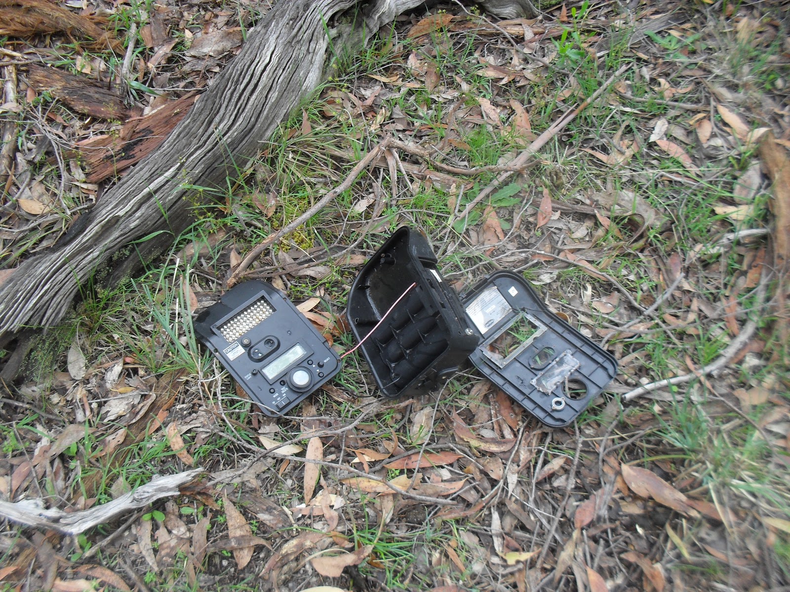
I started off from the picnic ground and camping area. Heading east and clockwise along a walking track, after passing the main reservoir I had planned to follow the disused open channel to the ridge where the the Mt Cole pipeline emerges, I had a little trouble locating the channel, so I was bushbashing until I  picked up the channel. While I was trundling through this off track section, I came upon the smashed wild life camera pictured below.

From the pipe outflow point I was on closed off four wheel drive tracks to within a couple kilometers from the summit, then rock scrambling to the summit and thence to the hidden lagoon. The Hidden lagoon is in the saddle between the Langi Ghiran peak and the lesser peak of Mt Gorrin. From the lagoon It was an easy dirt track back to the car. Then the start of my long drive back to Sydney.


The First Small Dam
A Granite Style near the Small Dam

The Main Reservoir
Somebody doesn't like being videoed

The disused open channel
 
Looking North from the Mt Cole pipeline outflow
The Dry Hidden Lagoon
  
Looking South From Langi Ghiran Summit


Stats,
distance: 16.3Km
moving time: 2hr, 32mins
Elevation: 700metres
Calories:1574


Thursday, 14 November 2019

Tessellate Hill- October 2019

I was looking for something a bit shorter this time. I had heard of the tessellated rock formations a few kilometers north of Mt Irvine and had been thinking of having a look for a while now, so off I went. Mt Irvine is one of many volcanic capped mountains in the Blue Mountains. I continued north along a ridge extending from Mt Irvine. The ridge is bordered in the west by the Wollengambe River and in the east by the Bowen Gorge. The Wollengambe is famous for canyoning. Many years ago we did a lilo trip down the Wollengambe.
Mt Irvine is covered in lush forest. Further north the ridge is sandstone and the vegetation here correspondingly scrubbier. I took a bit of a look further on from the tessellate formation, after a few kilometers or so of bush bashing through the scrub not on a defined track I called it a day and retraced my path back to the car.

Tessellated sandstone
Another Rock Formation

Looking North into The Wollemi Wilderness, the faint Mountain on the horizon is Mt Yengo
Looking across Bowen Creek to Mt Tootie
This creature was enjoying the sun

Wollangambe River


Stats,
distance: 10.9Km
moving time: 2hr, 26mins
Elevation: 391metres
Calories:1862