Saturday, 27 February 2021

The Devils Hole & Nellies Glenn - February 2021

I had to visit the upper mountains for other reasons for a couple of hours this day. So rather than waste my time in the mountains, I figured a revisit of this route the opposite way round to the last time I did it was in order. The Devils Hole is a steep narrow clevis in the cliffs, with some large rocks forming a roof. It is probably the quickest way into the Megalong Valley from Katoomba. I was fascinated to find some water flowing out of a cave in the wall of the 'Hole', see the picture below. Navigation is a little tricky after emerging from the Hole,  there are several tracks that peter out, otherwise it was straight forward, if a little steep, made a bit slipperier with the misty rain on the day.

Katoomba Trackhead

Devils Hole (from a previous visit)

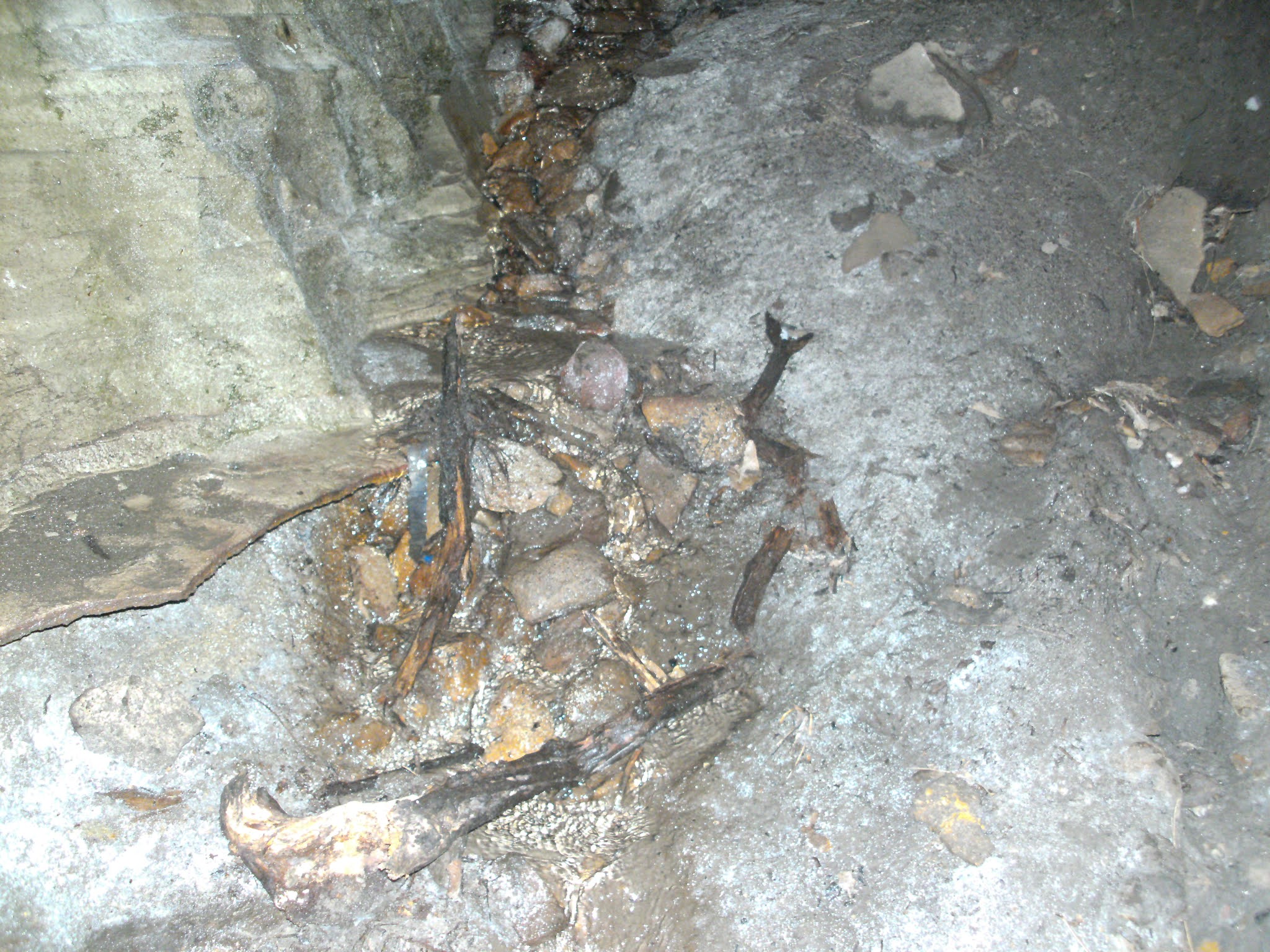
Spring water flowing out of the rocks in the cave

One of the waterfalls near the bottom Devils Hole


Another waterfall near the bottom

Nellies Glenn

Mt Solitary & Narrow Neck
 
The Megalong Valley & Six Foot Track

Stats,
distance: 11Km
moving time: 2hr, 01min
Elevation: 622metres
Calories:727


Sunday, 24 January 2021

Gospers Ridge - Mailes Ridge - Colo Maroo Campground January 2021

When I did the following trip; Mountain Lagoon to Colo Maroo and return in 2020, I noticed a single track branch off and head East along Gospers Ridge. I had been wondering if that unmarked track continued through to the settled area of Upper Colo. So this time I parked at the Upper Colo RFS shed and took off along a rough track that headed up Gospers Ridge. I figured that if that track didn't go where I hoped it would, I would just back track to the ute and call it a day. Any way after three or four kilometers I was on the familiar Mountain Lagoon,  Colo Maroo track, near the southern end of Mailes Ridge. After traversing Mailes Ridge, like in 2020 I found it a little problematic safely descending off the Northern nose of Mailes Ridge, the track has been obliterated by the recent bushfires, after a little bum sliding I was down OK. There were a couple of bush walkers at the Colo Maroo camp ground when I arrived. This campground is only accessible by canoe, walking or bicycle. The Colo was turbid and swiftly flowing after recent heavy rains, the river water is usually crystal clear. From the campground I followed the four wheel drive track through private property, cyclists and walkers are allowed on this track, and then the public road to the RFS shed.

Colo Maroo, National Parks camp ground

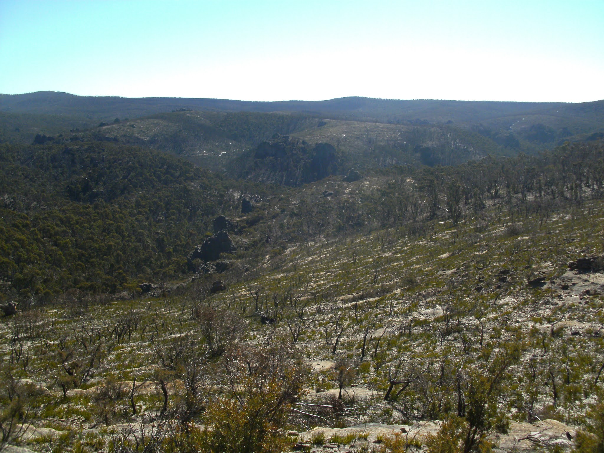
White speck in the furthest grassy area is my ute. This picture was taken from the end of Mailes Ridge. 


Double Drummer (thoph saccata) said to be the loudest cicada in the world, and the largest in Australia

Notice the Colo river water is brown & well up.


The Colo much further down stream taken on the drive home
Stats,
distance: 18.6Km
moving time: 3hr, 13min
Elevation: 671metres
Calories:1262 


Sunday, 20 December 2020

Morisset to Windsor via the Convict Road - December 2020

I caught the train to Morisset, once off the train at Morisset I rode west, after about ten kilometers the road turned to dirt, I was now in the Onley State Forest. My destination for the first day was the Basin Campground. The Onley State Forest is on the southern end of the Watagan Ranges. I stopped for a late lunch at Muirs Lookout, the trees have now mostly blocked the view, which is to the east back to the coast.

Day two from The Basin to Mill Creek campground through the Yengo and Dharug National Parks. With approximately Thirty kilometers along the convict built Old Great North Road some of the Old Great North Road is only open to walkers and cyclists, much if it is very badly eroded and too rough to ride.

Day Three from Mill Creek to Windsor was along the sealed Lower Portland road. The Lower Portland road follows the eastern bank of the Hawkesbury river upstream. Passing many water ski parks along the banks of the river. I had two ferry river crossings on this section, Wisemans and Sackville ferries. About seven kilometers from Windsor I joined the Putty road. The Putty road here is on fertile river flats making it ideal for turf and vegetable farms, there are many. Then a train ride from Windsor to Strathfield station and few kilometers cycle to home.

The Basin Camp ground

My fully loaded bike
The Wollombi Brook at the Basin Camp Ground
Wisemans Ferry
The Hawkesbury near Lower Portland
Sackville Ferry

Dinner is served
Ruins of a Bridge on the Great North Road, this is similar to Clares Bridge which was further south on my ride

Boat sheds & accommodation on the Hawkesbury
Stats,
distance: 171Km
Elevation: 3400metres


Monday, 16 November 2020

Hunter Main Range & Mount Monundilla - November 2020

The Hunter Main Range trail is now the only four wheel drive trail that traverses east west the Wollemi  Wilderness, there where others, but those have been almost completely allowed to return to their natural state. From the eastern end of the Hunter Main Range track there are two very substantial locked gates at the junction called 'Three Ways'. Back in August 2013 a friend and I attempted to ride our mountain bikes from Three Ways to the western edge of the park, after negotiating many many fallen trees across the track and approximately half way and 25km we gave up, camped the night and headed back the next day. One of my reasons for coming out here this time was to see if the track was suitable for cycling. Alas the track is in about the same condition as it was in 2013, the bush fires have undone any clearing that National Parks may have done. 

Keeping an eye on the time, I ensured that I turned back after 10km. This area is remote, just get to Three Ways was over three hours driving with an hour of four wheel driving. 

Mount Monundilla is one of the Basalt capped mountains in the predominantly sandstone Greater Blue Mountains/Wollemi. I turned back a little way from the summit, the undergrowth is very dense on the richer soil of the summit.

The cicadas where in full song at various parts of the track.

A sample of the track

Native Clematis

More Wild Flowers

Mount Monundilla
Stats,
distance: 20.3Km
moving time: 3hr, 46min
Elevation: 417metres 
Calories:1674 


Tuesday, 27 October 2020

Shark Rock Ridge - October 2020

Access to this track was a little obscure. Part of the access involved proceeding north along the edge of the freeway in the breakdown lane until arriving at the track head. The track is unmarked, quite faint and very 'scratchy'. There is a "Rock Art" warning sign some distance in. The noise of the freeway gradually lessened as I continued, but never really ceased for the whole shuffle. The rock engravings are worth a look at, but there are other more accessible engraving sites around Sydney.

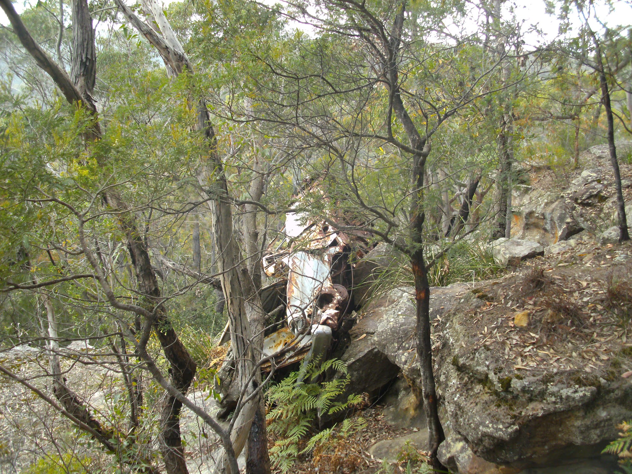
An early sixties Ford Falcon

The Motorway


Cowan Creek


Tessellate Rock

Stats,
distance: 9.33Km
moving time: 1hr, 33min
Elevation: 72metres
Calories:745

Tuesday, 13 October 2020

Great North Walk - Palm Grove & Hidden Valley - September 2020

Another section of The Great North Walk ,on a warm spring day, it was around 30 degrees by midday when I arrived back at my ute. Not much to report on this one, lots of snake tracks, although I didn't see any snakes. I commenced this section just north of Somersby,  passing through the Palm Grove Reserve with it's huge rain forest trees, palms and ferns. Then down to Hidden Valley on the Ourimbah Creek. Hidden Valley is a small collection horse properties. From Hidden Valley the Great North Walk follows the the Ourimbah Creek upstream, until finally crossing the creek and heading up to the watershed of the Ourimbah Creek and the Yarramalong Valley. Thats where I had brief rest and then retraced my steps back to the Somersby track head.

Somersby Track Head

Upstream of Happy Valley

Ourimbah Creek Crossing

Ourimbah Creek further downstream

Notches in a stump, used to support the loggers springboards

A Forest Giant in the Palm Grove Reserve
Stats,
distance: 21.7Km
moving time: 3hr, 44min
Elevation: 842metres
Calories:1586


Wednesday, 16 September 2020

Goochs Crater & Dargan Arch - August 2020

 The name Goochs Crater suggests it is volcanic, it is in fact not volcanic in origin at all, but a footy field sized hole in the sandstone. This area had been devastated by the Gospers Mountain fire, consequently some of this route required careful navigation. The day was cloud free with a strong bitterly cold southerly blowing, see the picture of the ice still on the wildlife drink container. These watering points have been placed in strategic locations to help the animal survive after the fires.  My visit to the Dargan Arch was a short jaunt down another track after I had returned to my ute from Goochs Crater.
Goochs Crater is behind the hill in the mid ground, the Wollangambe is in the closest valley
This was dense scrub before the fire
Mt Wilson behind the formation
Ice on the animal drink station, early afternoon
Dargan Arch
Cathedral Cave
My Bridge over the Wallangambe River
Goochs Crater
Camping Cave
 
Stats,
distance: 14.9Km
moving time: 3hr, 11min
Elevation: 564metres
Calories:1387