Sunday, 9 August 2020

Mountain Lagoon - Mailes Ridge - Colo Maroo July 2020

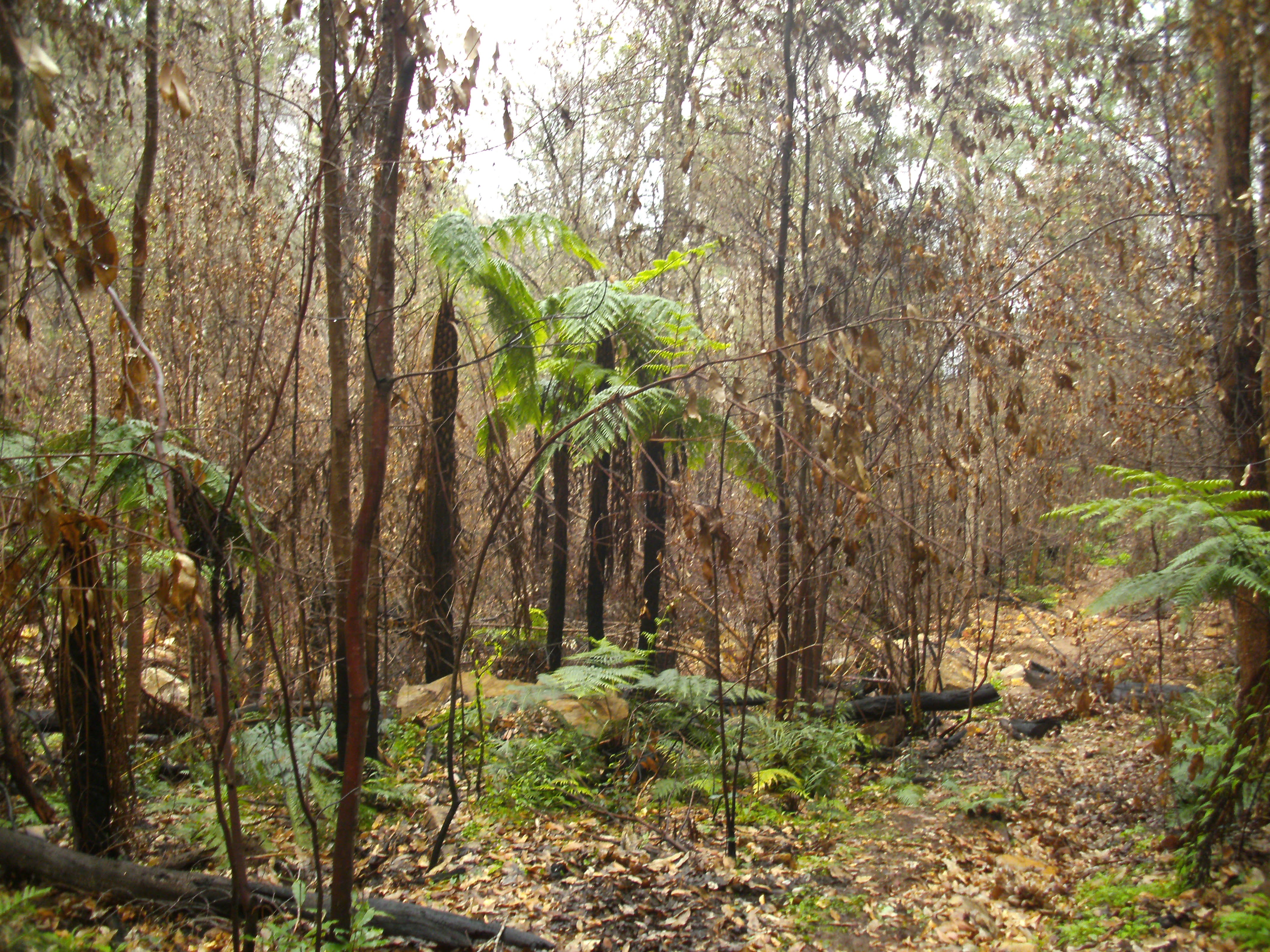
This trek was through another fire ravaged area. Starting and finishing at Mountain Lagoon, along Mailes Ridge and turning around at the Colo River in the vicinity of the Colo Maroo camp ground. The highlight was an encounter with a Glossy Black Cockatoo, they are spectacular and uncommon with bright red markings, unfortunately I was unable to photograph it.
In the late 1800s it was proposed to construct a train line connecting Penrith with Rylstone. This line was to mostly to follow the Colo river. A survey track was constructed along the proposed route. Mailes Ridge, was to have a tunnel under it, with the western portal to be located somewhere in the lower part of the first picture below. Thank goodness the construction didn't proceed, this is now a world heritage wilderness area. The proposed line is drawn on some old parish maps.


The Colo from Mailes Ridge
Mountain Lagoon


The Colo near the Colo Maroo Campsite

The Colo Maroo Camp Ground


Stats,
distance: 25.9Km
moving time: 4hr, 14min
Elevation: 919metres
Calories:2333


Sunday, 26 July 2020

Wattle Ridge - Troys Creek- Starlights Track June 2020


Not much to report on this bush run. It started raining while I was preparing to head into the bush from the the Wattle Ridge car park. I did for a moment consider packing up and going home. I am glad I didn't as the rain and burnt forest was well worth the experience, just a little discomfort. I have done this loop before the last summer's devastating bush fires, sad to see the devastation.

Shattered Sandstone, from the intense heat

The Nattai at Emmetts Flat A'hearns Lookout Behind


Stats,
distance: 19.1Km
moving time: 3hr, 43min
Elevation: 597metres
Calories:1313


Sunday, 21 June 2020

Lions Head Pass- Kedumber Valley - Goat Track June 2020

I had done this loop back in 2017, I wanted to see first hand how much damage the fires earlier this year had done. The dense banksia on the tops has been completely decimated, as can be seen from the picture below. The last time I was here it was hard to get off the track due to the dense scrub the track passed through, now there is very little evidence of the track. I had to rely on basic navigation to find the top of Lions Pass.

Lions Pass is extremely steep requiring much care, a bit of bum sliding and scrambling to negotiate. Once on the track below navigation was no longer an issue.

My way out of the Kedumba Valley was via the lower part of the Goat Track and then the four wheel drive Kedumba Pass. The Goat Track is also called "Bush Rangers Track". The lower section has a chain to assist over a bit of a cliff, the upper section has a rope to assist up a much riskier cliff. I wasn't confident about the upper section, the chain on the lower section was enough for me.


Burnt Banksia, above Kedumba Walls


Lions Head from above


Rock Cairn indicating the top of Lions Head Pass


Maxwell's Grave, see the plaque above


Farm Dam near Maxwell's Grave


Near the top of Kedumba Pass


Rock overhang further up Kedumba Pass


Kedumba Walls


Lions Head on the right hand end, the pass is just left of The Head

Stats,
distance: 18.3Km
moving time: 3hr, 11min
Elevation: 794metres Calories:1738


Friday, 15 May 2020

Coba Point - May 2020

In the midst of the Covid19 lock down, I did this permitted exercise, 'close to home', well about 50km from home. The objective, Coba Point has a collection of dwellings on the banks of Berowra Creek, these dwellings are only accessible by water or walking the overgrown Coba Ridge Track. A bit of a side trip off the path I went is Colleridge Point, pictured below, is also only accessible by water, foot and maybe mountain bike. I previously did this track in June 2015.

Colleridge Point
Berowra Creek
Coba and Colleridge Points must have had road access in the past as half way down the track there is an early sixties car wreck. It would be impossible drive a car there now.
Final resting place of a late 50s early 60s Holden Wagon
Eroded & overgrown Coba Point track

Stats,
distance: 19.8Km
moving time: 3hr, 2min
Elevation: 346metres
Calories:1452


Friday, 17 April 2020

Murphys Glen Fire Trail - Mt Bedford & return - March 2020

Driving out to do this little adventure, I happened to tune into ScoMos first version of the national lockdown, this maybe the last bush blog from me for a while, even though I am usually completely isolated whilst I am in the bush.
I mostly  ran on closed management tracks. The loop over Mt Bedford was on an overgrown, little used walking track. The Mt Bedford loop started from the Ingar campground.Ingar Campground is currently closed due to the recent bushfires. Ingar is a local aborigine word for crayfish.

Burnt in the recent fires
The pond at Ingar campground
Bedford Creek
Knee deep ford through Bedford Creek
An unknown animals home, the museum suspects it is a spiders hole

Stats,
distance: 12.5Km
moving time: 2hr, 17min
Elevation: 593metres
Calories:810

Friday, 13 March 2020

The Great North Walk - Mooney Mooney to Quarry Campsite & Return February 2020

This time I did another section of the Great North Walk, from the Mooney Mooney bridge north. Mooney creek was very turbid and I suspect I was the first person along the here after the torrential rains we had just received. The track was muddy and leech infested, a few weeks ago the track would have been dusty, and my lower limbs leech free. 
A deer bounded off as I was parking my ute, I wasn't quick enough to get a photo.
I passed besides the Lower Mooney reservoir, this dam formerly supplied Gosford, the newer Upper Mooney reservoir now supplies the Central Coast.

I was on hands and knees crossing here, slippery.
The Lower Mooney Dam
The Lower Mooney Dam Wall
Ruins of the Lower Mooney Dam Pumping Station
Much of the track was overgrown, the track is meant to pass through here.
The Quarry Campsite, notice the combustible material around the fire place.
A large crayfish in the turbid water
The M1 Motorway Mooney Mooney Bridge
Stats,
distance: 16.7Km
moving time: 3hr, 3min
Elevation: 301metres
Calories:1133


Sunday, 19 January 2020

The Great North Walk - Patonga to Mt Wondabyne & Return December 2019

Not much to report concerning this one. I had some difficulty deciding where to go, there were fires in all directions from Sydney. After studying the fire maps and the National Parks web pages, I settled on the Great North Walk (GNW) section from Patonga to Mt Wondabyne and return. The nearest fire was about 40km away. This is in the Brisbane Waters National Park, a bit further south from section of the GNW that I did in my September 2019.

A creek near Patonga is usually dry at low tide, high tide can mean wet feet
I don't know if this is a recent arrangement or not
Looking towards Woy Woy
Bush fire smoke from the Yengo National Park on the horizon
Patonga
Mouth of the Hawkesbury & Barrenjoey Head
Stats,
distance: 22.6Km
moving time: 4hr, 1min
Elevation: 610metres
Calories:1931