| Shattered Sandstone, from the intense heat |
| The Nattai at Emmetts Flat A'hearns Lookout Behind |
| Shattered Sandstone, from the intense heat |
| The Nattai at Emmetts Flat A'hearns Lookout Behind |
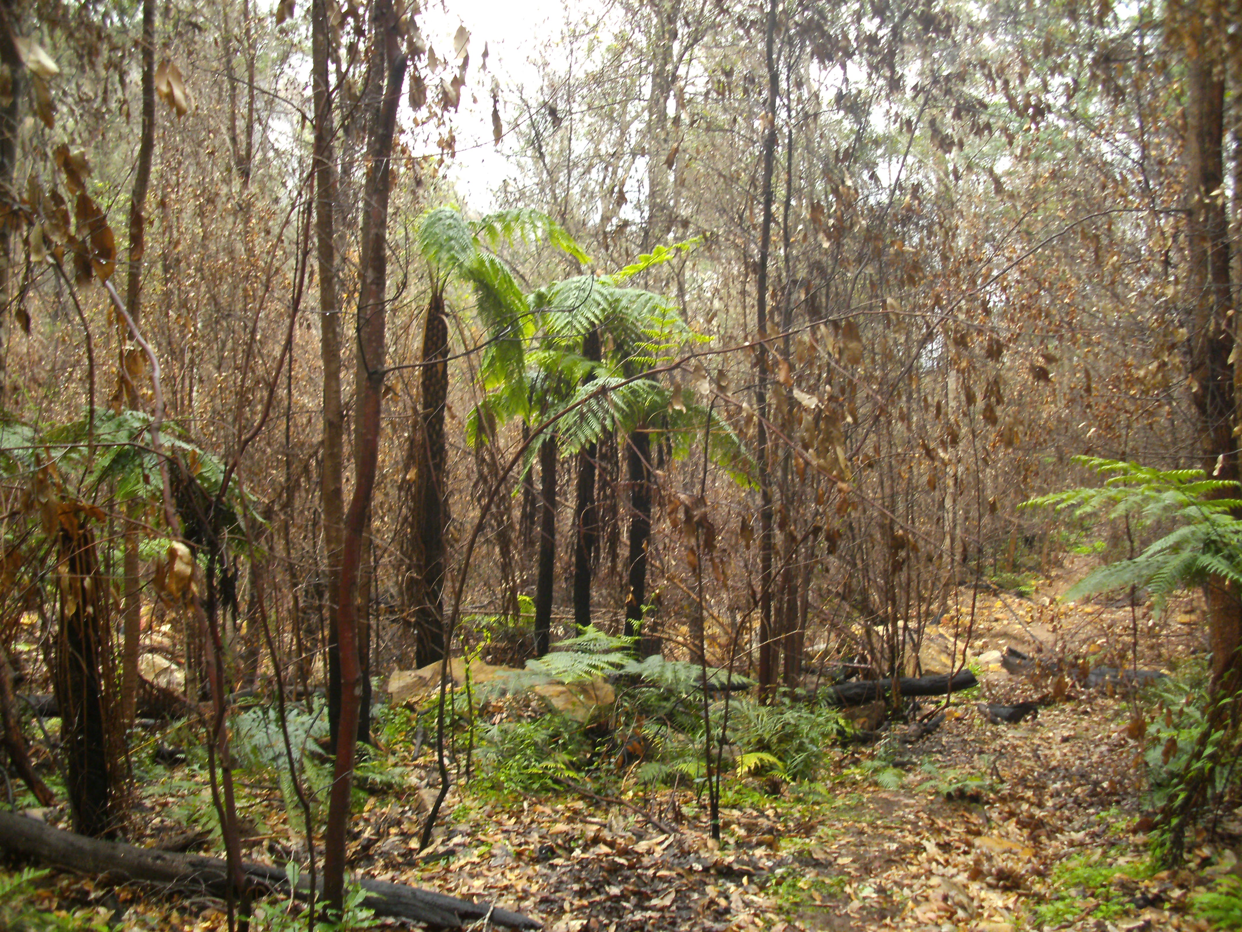
I had done this loop back in 2017, I wanted to see first hand how much damage the fires earlier this year had done. The dense banksia on the tops has been completely decimated, as can be seen from the picture below. The last time I was here it was hard to get off the track due to the dense scrub the track passed through, now there is very little evidence of the track. I had to rely on basic navigation to find the top of Lions Pass.
Lions Pass is extremely steep requiring much care, a bit of bum sliding and scrambling to negotiate. Once on the track below navigation was no longer an issue.
My way out of the Kedumba Valley was via the lower part of the Goat Track and then the four wheel drive Kedumba Pass. The Goat Track is also called "Bush Rangers Track". The lower section has a chain to assist over a bit of a cliff, the upper section has a rope to assist up a much riskier cliff. I wasn't confident about the upper section, the chain on the lower section was enough for me.
| Colleridge Point |
| Berowra Creek |
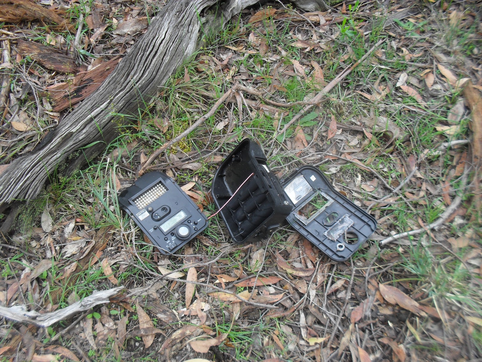
| Final resting place of a late 50s early 60s Holden Wagon |
| Eroded & overgrown Coba Point track |
| Burnt in the recent fires |
| The pond at Ingar campground |
| Bedford Creek |
| Knee deep ford through Bedford Creek |
| An unknown animals home, the museum suspects it is a spiders hole |
| I was on hands and knees crossing here, slippery. |
| The Lower Mooney Dam |
| The Lower Mooney Dam Wall |
| Ruins of the Lower Mooney Dam Pumping Station |
| Much of the track was overgrown, the track is meant to pass through here. |
| The Quarry Campsite, notice the combustible material around the fire place. |
| A large crayfish in the turbid water |
| The M1 Motorway Mooney Mooney Bridge |
| A creek near Patonga is usually dry at low tide, high tide can mean wet feet |
| I don't know if this is a recent arrangement or not |
| Looking towards Woy Woy |
| Bush fire smoke from the Yengo National Park on the horizon |
| Patonga |
| Mouth of the Hawkesbury & Barrenjoey Head |
| The First Small Dam |
| A Granite Style near the Small Dam |
| The Main Reservoir |
| Somebody doesn't like being videoed |
| The disused open channel |
| Looking North from the Mt Cole pipeline outflow |
| The Dry Hidden Lagoon |
| Looking South From Langi Ghiran Summit |