Over the years I have driven past Mount Macedon many times, now seemed like a good opportunity to explore. The Macedon Ranges Walking Track does a loop encompassing Mount Macedon summit with the memorial cross, tourist shop and car park. It passes near the Camels Hump on the northern end of the park, there is a side track to the lookout on the Camels Hump with views to the north and west. Hanging Rock of picnic fame, is clearly visible from here. The track passes through several picnic grounds and the rocky summit of Mount Towrong. From Mount Towrong you can see across the valley to the cross on Mount Macedon.
 |
The Cross from The Goat Track
|
 |
The Cross from the tourist path
|
 |
Red Lichen on dead wattle trees
|
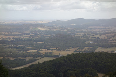 |
No Picnic at Hanging Rock today (mid picture)
|
 |
Sanatorium Lake
|
 |
Mount Towrong Summit
|
 |
Looking across to The Cross
|
Stats,
distance: 18.5Km
moving time: 3hr, 6min
elevation: 758metre


