Mt William Summit from the east. I was lucky to be able to do this trip, it was the first clear day after the torrential rains which resulted in flooding of South Eastern Australia. The track was very wet and slippery. Mt William, (Duwil) at 1167 metres, is the highest peak in the Grampians (Gariwed) and Western Victoria. Some of route I took was on part of the recently opened Grampians Peaks Trail, a 13 day 160Km trek.
 |
Mt William from Kalymna Camp Site
|
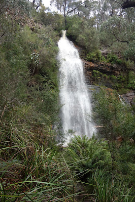 |
Kalymna Falls
|
 |
Joining the Grampians Peaks Trail
|
 |
On the Grampians Peaks Trail
|
 |
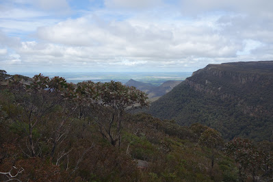
Serra Range, Victoria Range on the horizon
|
 |
L to R Lake Muirhead, Sugarloaf & Major Mitchell Plateau
|
 |
Approaching the Summit
|
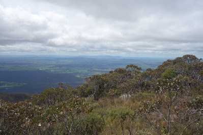 |
To the East
|
 |
On The Summit
|
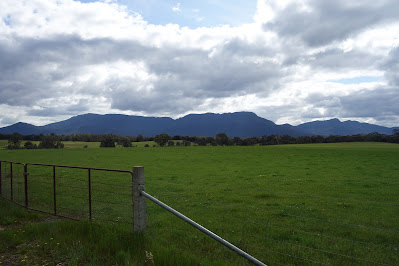 |
Mt William from near Moyston
|
Stats,
distance: 14Km
moving time: 2hr, 44min
elevation: 956metre


