Friday, 30 December 2022

Mill Creek - December 2022

I noticed this track in December 2020 when I camped here on the last night of this three day bike ride from Morisset to Windsor. Not so hard this time, just an excuse to get into the bush. I had the park to myself the whole time I was here. I did encounter a goanna and several lyrebirds. Little else to report.

Mill Creek Picnic Area


Grass Trigger Plant (Stylidium graminifolium)


Stats, 
distance: 8.3Km  
moving time: 1hr, 27min  
elevation: 326metre


Monday, 5 December 2022

Pindar Cave - November 2022

Pindar Cave is in the Brisbane Water National Park. As I was approaching the cave I could hear water dripping but not see the cave due to the dense bush, all of a sudden there it was in front of me, an immense cave formed from the overhanging sandstone. My photos don't convey the enormity of this cave.

After having a look around the cave I continued on to Pindar Falls. I couldn't find a way to the bottom of the falls. All I could see here was the stream disappearing over the top of a cliff.

I sighted some Glossy Black Cockatoos, these cockys are spectacular with the red bands on their wing and tail feathers, and they are not very common.

The path went through dense scrubby bush with many kilometres of brushing against the foliage. I was not surprised to find a tick trying extract blood from my leg later that evening.

Flannel Flowers (Actinotus helianthi)

Purple Flag (Patersonia sercea)

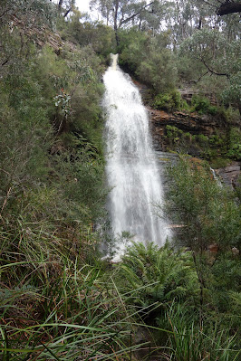
Kariong Brook Falls

Approaching Pindar Cave

The Cave

Native Bottlebrushes (callistemon)

A small pond near the cave

Spectacle Island in the Hawksbury

Joining the Great North Walk

Interesting erosion of the sandstone

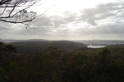
Looking towards Gosford from Staples Lookout
Stats, 
distance: 20.8Km  
moving time: 3hr, 44min  
elevation: 560metre 

Friday, 28 October 2022

Mt William (Duwil) Summit from Kalymna Camp Ground - October 2022

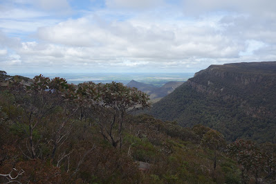
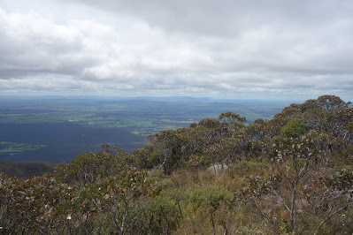
Mt William Summit from the east. I was lucky to be able to do this trip, it was the first clear day after the torrential rains which resulted in flooding of South Eastern Australia. The track was very wet and slippery. Mt William, (Duwil) at 1167 metres, is the highest peak in the Grampians (Gariwed) and Western Victoria. Some of route I took was on part of the recently opened Grampians Peaks Trail, a 13 day 160Km trek.

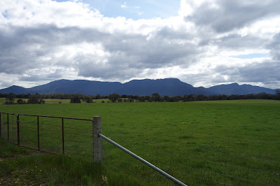
Mt William from Kalymna Camp Site

Kalymna Falls

Joining the Grampians Peaks Trail


On the Grampians Peaks Trail

Serra Range, Victoria Range on the horizon

L to R Lake Muirhead, Sugarloaf & Major Mitchell Plateau

Approaching the Summit

To the East

Canary Worm  (Fletchamia sugdeni)

On The Summit

Mt William from near Moyston

Stats, 
distance: 14Km  
moving time: 2hr, 44min  
elevation: 956metre  

Monday, 26 September 2022

The Shoalhaven, Big Horseshoe Bend - September 2022

This time I set out to have a look at Big Horse Shoe Bend, and Wine Glass Tor. I got as far as Big Horse Shoe Bend and turned back. Wine Glass Tor is on the top of the cliffs on the eastern side of the Shoalhaven River. Getting to the Tor would have required crossing the river and the climbing Backbender Buttress, an additional five hundred metre climb. Too much water to cross this time. I was happy to turn back at the river and miss out on Backbender, maybe another day. 

From the top of Assay Buttress

Further down Assay Buttress, the Shoalhaven peeping through the gloom

Looking down stream

Fungi

Cross here to access Backbender Buttress

Big Horse Shoe Bend

Upstream towards Little Horse Shoe Bend


Stats, 
distance: 17.2Km  
moving time: 2hr, 44min  
Elevation: 552metre 

Friday, 26 August 2022

Taffys Rock - August 2022

Taffys Rock is named after Dorothy Townson who passed away on a bushwalk in Tasmania in 1948, after being bitten by a snake. More details here if you are interested. The first four kilometers from the Cowan station is along this section of the Great North Walk. The rest of the track is a spur heading East from the Great North Walk, terminating at Taffys Rock. The rock has great views in all directions, particularly of the Hawksbury River mouth and Lion Island.

.
Jerusalem Bay

Govett Lookout, trees now block the view

Hardenbergia


Moss on Taffys Rock

Lion Island from Taffys Rock

The Pacific Motorway


Stats,  

distance: 15.8Km   

moving time: 3hr, 9min  

Elevation: 718 metre

Thursday, 28 July 2022

Grose Head South from Yarramundi - July 2022

This run was virtually up and then back down the Lapstone Monocline, adjacent to where the Grose has cut a gorge through the monocline.  The Lapstone Monocline is the first rises of the Blue Mountains after travelling west across the   Cumberland Plain. The path I took was fire trail to the Trig on Grose Head South, the track from the Trig west is single track, it goes all the way to Winmalee.

Native Boronia it may be the "Sydney Boronia" (ledifolia)

The trig on Grose Head South

Looking North into the Grose

The Sydney CBD can be seen over the Cumberland Plain

Debri from the recent floods


Stats, 
distance: 12Km  
moving time: 2hr, 1min  
Elevation: 586metre
Calories:823

Monday, 27 June 2022

Polona Cave - Royal National Park June 2022

Poloma Cave is less than fifty kilometres from the Sydney CBD, in the Royal National Park. The cave is formed by large overhanging rock formations, the entrance is wide and open and not in any sense a tunnel, unlike a most other limestone caves. 

Some say, our Royal National Park was the first in the world, it was proclaimed 1879. The other contender to be the oldest is Yellowstone National Park in California. Which is the oldest depends how the start date is defined.

About a kilometre along the Uloola Falls Trail from the Waterfall Station, is the memorial pictured below. On the third of November 1980, five volunteer firemen perished here when their fire truck was caught in a bush fire.

Along the Hacking River Valley

Limestone formations

Palona Brook 

A small waterfall along the Couranga Trail
Memorial to the Fire Men
Directions to the Cave
Where I crossed the Hacking River
Palona Falls, near the cave
Stats, 
distance: 22Km  
moving time: 3hr, 35min  
Elevation: 486metre
Calories:1582